Hiking Trails
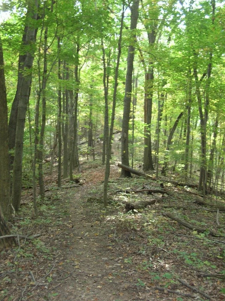
Hopkinton State Park has more than 10 miles of trails through 1,500 acres of forest, according to DCR. Most of the named trails loop through the main recreation area north of the reservoir; a second set runs along the east shore and through the woods south of Cedar Street. Many are shared with mountain bikers and horseback riders, and in winter with cross-country skiers. DCR's map names the trails but does not give a length for each one, so plan your walk by the map's scale and the total, not by a per-trail mileage.
Trails at a Glance
Trails in the Main Recreation Area
Page 2 of DCR's trail map covers the main recreation area, the part of the park inside the Route 85 entrance. The trails it names are: Long Trail, Aikens Trail, Wachusett Trail, Caesar Trail, Loop Trail, Beach Trail, Pepperbush Trail, Hardwood Trail, Quarry Trail, Oval Trail, Swenson Trail, Foxtrot Trail, Arborvitae Trail, Vista Trail. The Long Trail runs around the outer edge of this area, from the north woods near the Sudbury River out to the east side near Cross Street. Shorter trails such as the Loop, Caesar, Wachusett, Quarry and Hardwood trails cut through the middle between the picnic areas and parking lots, and the Beach Trail and Oval Trail lead toward the water.
Because these trails connect to park roads and picnic areas at many points, you can build a walk of almost any length. On a summer day, a loop out to the dam and back from your picnic spot is the easy win. See the trail map page for how the map is laid out.
Healthy Heart Trails
DCR marks some trails near the main entrance with a heart symbol. On the map they follow the Foxtrot, Swenson, Loop and Arborvitae trails between the contact station and the reservoir. DCR describes Healthy Heart Trails as paths for hiking or walking that are easy to moderate in activity level and intended for routine use to help build a healthy heart. They are the right pick for a short, steady walk, for kids, or for an evening after the beach.
East Shore and South Woods
Page 1 of the map shows the whole park, including trails outside the main area: Reservoir Run, Chipmunk Trail, Ledges Trail, Fisher Trail, Pipeline Trail, Duck Pond Trail. Reservoir Run follows the reservoir's east shore. South of Cedar Street, the Chipmunk, Ledges, Fisher, Pipeline and Duck Pond trails wind through a larger block of forest down toward Duck Pond and Saddle Hill Road. These are quieter than the main area in summer. Park headquarters is on Cedar Street on the east side of the reservoir, and the map shows a canoe launch with parking there.
Multi-Use Trails: Bikes and Horses
DCR lists mountain biking and horseback riding among the park's activities, and its map marks multi-use trails for mountain biking, horseback riding, cross-country skiing and hiking. Gates on some trails are there to keep out motor vehicles; DCR's map says all other trail users are welcome to go past them. Off-road vehicles such as ATVs and dirt bikes are banned.
- Hikers let bicyclists and horses pass.
- Bicyclists control their bikes, don't skid, and announce themselves so they don't startle horses or hikers.
- Riders keep their horses under control.
- Everyone stays on designated trails and roads and follows posted rules.
Those are DCR's trail-use guidelines, printed on the trail map.
Winter on the Trails
DCR lists cross-country skiing and snowmobiling for Hopkinton. Snowmobiles are the one exception to the off-road vehicle ban, and only in winter with at least 4 inches of snow cover. If you are on skis or foot, expect to share wider trails with them on snowy days. DCR keeps a list of snowmobile trails in state parks.
Hiking With a Dog
Dogs are welcome on the trails, on a leash at all times, everywhere in the park. They're not allowed on the beaches from May 1 to September 15, so plan a trail-only day if the dog is coming in summer. Rules.
Longer Loops Nearby
Two neighbouring DCR parks have one clearly measured loop each. Ashland State Park's trail around its reservoir is 3.5 miles, and Whitehall State Park's trail around Whitehall Reservoir is 6 miles, both by DCR's count.


Hopkinton State Park Trails FAQ
How many miles of trails are at Hopkinton State Park?
More than 10 miles, according to DCR. DCR's trail map names about 20 trails but does not give a length for each.
Can you mountain bike at Hopkinton State Park?
Yes. DCR lists mountain biking, and its map marks multi-use trails for bikes, horses, skiers and hikers. Cyclists should announce themselves and avoid startling horses and hikers.
Are there easy trails at Hopkinton State Park?
Yes. DCR's Healthy Heart trails near the main entrance are rated easy to moderate and meant for routine walking.
Can you bring dogs on the trails at Hopkinton State Park?
Yes, on a leash at all times. Dogs are kept off the beaches from May 1 to September 15.
Facts checked against the DCR page for Hopkinton State Park on October 17, 2026.